Specific data protection information regarding the use of laser scanning and 360-degree photography.
Digital Twin
The STF Group provides comprehensive services for capturing, processing, and visualizing digital twins. Whether it’s individual buildings, entire industrial sites, or telecommunications, energy, and transport infrastructure — we deliver customized solutions tailored to your project.
Capturing the Digital Twin
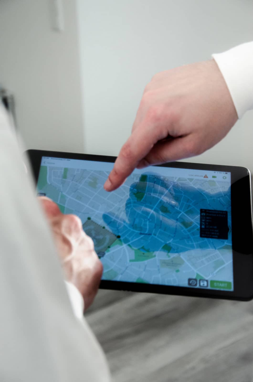
Interior spaces are captured using laser scanning and 360° photography. Outdoor areas and surroundings are recorded three-dimensionally via drone and photogrammetry. For large-scale street mapping, we use Mobile Mapping Systems equipped with high-resolution 360-degree cameras and additional vehicle-mounted sensors. These technologies ensure the high data quality required for generating accurate digital twins.

Processing the Digital Twin
The collected data is processed into BIM-compliant 3D models and as-built CAD plans, then prepared for use in geographic information systems (GIS). From the 3D data, we extract the positions and contours of existing building elements and derive basic geometric shapes (Scan2BIM). These are then georeferenced, providing the foundation for spatial evaluations and geographic analyses (BIM2GIS).

Visualizing the Digital Twin
Depending on the use case, we offer our clients tailored cloud-based solutions for visualizing their projects. Through modern, user-friendly web interfaces, you can explore your project as a 3D model or virtual walkthrough. Another option is displaying the data within a geographical context on a 3D GIS platform. Here, 3D building models can be combined with infrastructure data such as roads, railways, utility networks (electricity, fiber optics, water, gas), or measurement data (mobile networks / Wi-Fi coverage).


Dipl.-Ing. (FH) Frédéric Dildei
Business Development Manager DACH / Member of Executive Management
Get in touch with our contact person Frédéric Dildei now and receive a non-binding consultation about our solutions.


Selection of Our References